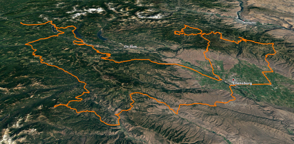
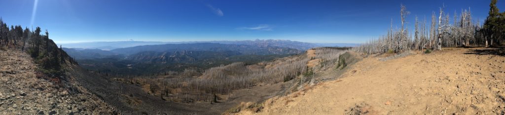
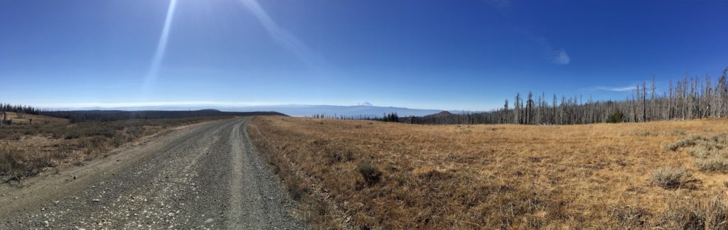
This is a 366 mile long route that offers the intermediate and advanced rider a taste of almost every kind of adventure riding available in the Central Cascades. From bombing down thickly forested lanes near Lester to riding the shelf roads on your way to 410 to bouncing through the wide-open rocks of the Colockum Green Dot Roads. Mossy rain forest to dry Ponderosa to sub-Alpine vistas full of larches. This ride has everything. If you are thinking of riding the WABDR, this would be a great way to test yourself. It is suitable for a big bike.
Notes:
Near the beginning of the route, the track shows two ways through the Stampede Pass area. The preferred route goes through the middle of the area while an easier route goes around. The preferred route is much better riding – swoopy, twisty with easy obstacles, lonely and some beautiful scenery. The easier route is also beautiful and much faster riding albeit more ‘crowded.’
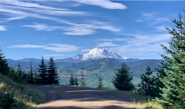
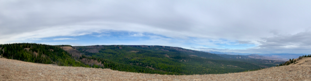
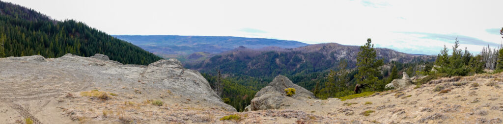
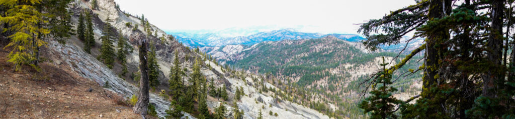
The viewpoint at the top of Little Bald Mountain (SW of Cliffdell) is not to be missed. Its a rocky climb but worth it.
Unless you are in a hurry, the route around Blewett Pass is a must. Ride the track counterclockwise. The first leg is unpaved and goes by many old mining claims. The second leg is paved (albeit roughly in spots) and one of the best twisty roads in the state.
The most technically challenging part of the ride is a series of gullies west of Mission Ridge. They are pretty easy but you don’t want to stop on your way out of the gully. Video.
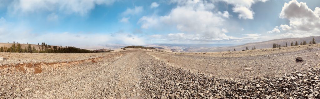
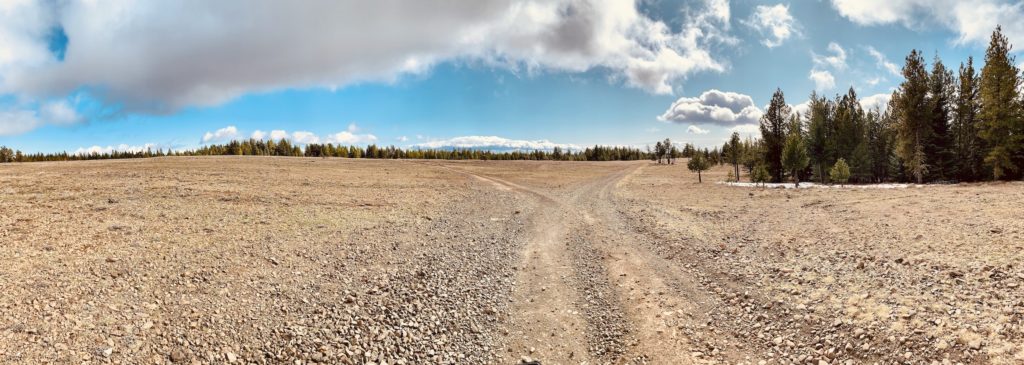
Prepare for riding rocky terrain. All of the areas north of Nile and NE of Ellensburg are rocky. Mostly chicken heads and baby heads (indicate size of rock) and not rock gardens (really big rocks, often loose). What does this mean to you? Get a good nights sleep, rest when you feel tired and most importantly: keep your head up, your eyes looking ahead and keep your speed.